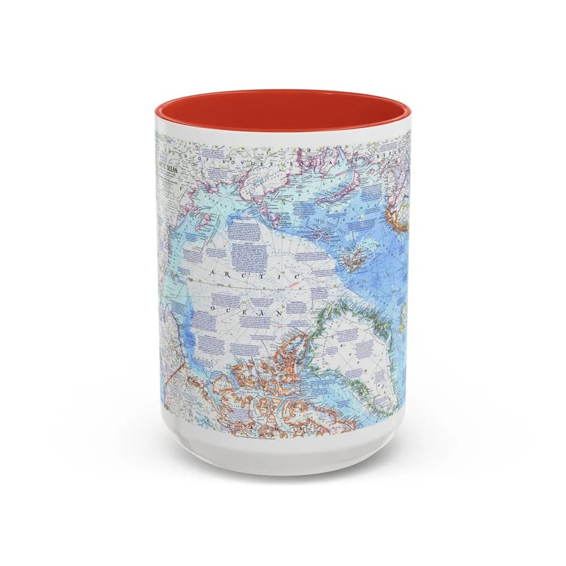
The Arctic Ocean Map from 1971 is a geographical representation of the Arctic region during that year. This map provides detailed information about the polar basin, including its surrounding landmasses and oceanic features such as islands, coastlines, and sea depths. It serves as a valuable historical resource for studying the geography, cartography, and climate changes in the Arctic over time. The accuracy of the map was likely based on data from satellite imagery, surveys, and exploratory expeditions conducted during the specified period. This map is significant as it captures the state of the Arctic Ocean at a specific moment in history and contributes to the ongoing understanding of this fragile and rapidly changing ecosystem.
Express delivery and return policies
Free shipping on orders over $30
Processing time: 1-2 Days
Shipping time: 3-5 Days(According to the logistics method and delivery address)
Items can be returned or exchanged within 30 days !